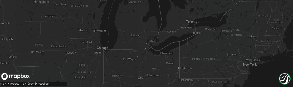
Hail Map on April 4, 2026
The weather event on April 4, 2026 includes Tornado, Wind, and Hail maps. 7 states and 25 cities were impacted and suffered possible damage. The total estimated number of properties impacted is 0.
Tornado
Wind
Hail
0
Estimated number of impacted properties by a 1.00" hail or larger0
Estimated number of impacted properties by a 1.75" hail or larger0
Estimated number of impacted properties by a 2.50" hail or largerStorm reports
Alabama
| Date | Description |
|---|---|
| 04/04/20264:08 PM CDT | Tree down blocking county road 64. |
| 04/04/20263:45 PM CDT | Tree down near county rd 59 and 61. |
| 04/04/20262:45 PM CDT | A tree was knocked down blocking both lanes of the roadway at 11884 cr 14. Time estimated by radar. |
| 04/03/202610:00 PM CDT | Large tree down in the roadway. |
| 04/03/20269:55 PM CDT | 6-8 powerlines snapped. |
| 04/03/20269:51 PM CDT | A tree was knocked down blocking all lanes at the intersection of snodgrass road and cr 33 in scottsboro. Time estimated by radar. |
| 04/03/20269:49 PM CDT | Corrects previous tstm wnd dmg report from 3 ene scottsboro. 6-8 powerlines snapped. |
| 04/03/20269:49 PM CDT | Corrects previous tstm wnd dmg report from 3 e scottsboro. A tree was reported down at 50 clemens road. |
| 04/03/20269:49 PM CDT | One power pole was snapped near its base and powerlines were down at this location on highway 35. |
| 04/03/20269:48 PM CDT | A tree was reported down at this location. |
| 04/03/20269:47 PM CDT | Softwood trees reported down at 279 skyline drive. |
| 04/03/20269:47 PM CDT | A large tree limb was reported down on a residence at 620 skyline shores drive. |
| 04/03/20269:43 PM CDT | A tree was knocked down across the roadway at the intersection of july blvd. And woods cove road in scottsboro. Time estimated by radar. |
| 04/03/20269:43 PM CDT | Tree uprooted at 843 camp ground circle... Ssw of scottsboro. |
| 04/03/20269:37 PM CDT | Tree down in roadway. |
| 04/03/20269:37 PM CDT | Corrects previous tstm wnd dmg report from 3 nnw langston. Softwood trees reported down at 279 skyline drive. |
| 04/03/20269:37 PM CDT | Corrects previous tstm wnd dmg report from 3 nnw langston. A large tree limb was reported down on a residence at 620 skyline shores drive. |
| 04/03/20269:15 PM CDT | A tree was knocked down blocking the roadway at the intersection of union hill road and mcannally road. Time estimated by radar. |
Tennessee
| Date | Description |
|---|---|
| 04/04/20265:17 PM CDT | A couple trees blown down near red boiling springs rd and union camp rd. |
| 04/04/20265:04 PM CDT | Minor roof damage to a home on hiwassee rd. |
| 04/04/20264:51 PM CDT | Several large tree limbs down on hamilton chambers rd. |
| 04/04/20264:50 PM CDT | Shingles blown off a house... Fencing damage... On hunters village drive. |
| 04/04/20264:49 PM CDT | Sporadic wind damage across northwest portions of lebanon including trees down as well as utility lines. |
Michigan
| Date | Description |
|---|---|
| 04/04/20264:53 PM CDT | Numerous trees and power lines down near e huron river dr and haggerty rd. |
| 04/04/20264:46 PM CDT | Numerous trees reported down in the willis/van buren twp/roulo area. |
| 04/04/20262:20 PM CDT | Numerous trees downed in the vicinity of piehl rd... Summerfield rd... Erie rd... And st. Anthony rd. Damage to two homes reported on piehl rd. |
Ohio
| Date | Description |
|---|---|
| 04/04/20262:08 PM CDT | One tree down. Time estimated via radar. |
| 04/04/20261:23 PM CDT | Power lines down in defiance. Time estimated by radar. |
| 04/04/20261:18 PM CDT | Power lines down. Report came in from mping. |
| 04/04/20261:18 PM CDT | A nws damage assessment determined that an ef-1 rain-wrapped tornado was embedded in a line of severe thunderstorms that went through defiance during the afternoon of a |
| 04/04/20261:18 PM CDT | Delayed report... From a variety of sources including ema... Defiance pd... Broadcast media... Trained spotters... Tand the public. Numerous reports of large trees down |
Texas
| Date | Description |
|---|---|
| 04/04/202610:15 AM CDT | Multiple videos on social media of tornado in the lindale area near fm 16 and fm 2710. Videos relayed by broadcast media. Tdem reports damage to 3 homes. |
Cities Impacted by Hail Map on April 4, 2026
- Lindale, TX
- Defiance, OH
- Ottawa Lake, MI
- Temperance, MI
- Petersburg, MI
- Lambertville, MI
- Ida, MI
- Ozark, AL
- Midland City, AL
- Newton, AL
- Oak Ridge, LA
- Rayville, LA
- Epps, LA
- Robstown, TX
- Muncy Valley, PA
- Hughesville, PA
- Ypsilanti, MI
- Willis, MI
- Milan, MI
- Belleville, MI
- Mount Juliet, TN
- Lebanon, TN
- Hartsville, TN
- Romulus, MI
- Scottsboro, AL