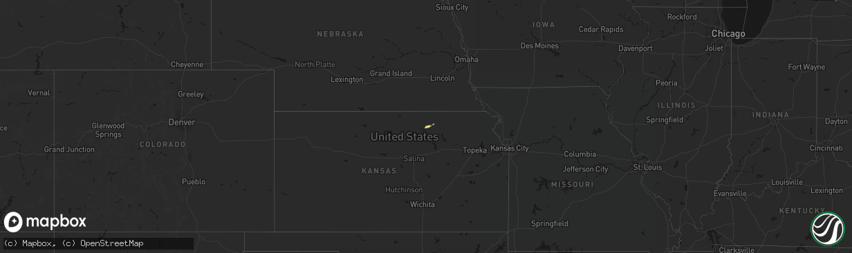
Hail Map on April 9, 2026
The weather event on April 9, 2026 includes Hail and Wind maps. 8 states and 134 cities were impacted and suffered possible damage. The total estimated number of properties impacted is 54,142.
Hail
Wind
54,142
Estimated number of impacted properties by a 1.00" hail or larger7,090
Estimated number of impacted properties by a 1.75" hail or larger0
Estimated number of impacted properties by a 2.50" hail or largerStorm reports
Oklahoma
| Date | Description |
|---|---|
| 04/08/20268:21 PM CDT | Wind gust of 66 mph recorded at the guymon airport asos station. |
Iowa
| Date | Description |
|---|---|
| 04/08/20268:09 PM CDT | Delayed report of a personal weather station measured wind gust of 58 mph as a thunderstorm passed through. |
| 04/08/20267:39 PM CDT | Delayed report of a personal weather station measured wind gust of 59 mph as a thunderstorm passed through. |
Kansas
| Date | Description |
|---|---|
| 04/09/20266:56 PM CDT | Report from mping: quarter |
| 04/09/20266:54 PM CDT | A local report indicates 1.75 inch wind near 5 ENE Agenda |
| 04/09/20266:48 PM CDT | A local report indicates 1.75 inch wind near 4 W Hunter |
| 04/09/20266:40 PM CDT | Drifts of hail up to quarter size covering road 412. |
| 04/09/20266:33 PM CDT | Report from mping: half dollar |
| 04/09/20266:27 PM CDT | A local report indicates 1.75 inch wind near 5 ESE Belleville |
| 04/09/20266:21 PM CDT | Reported alongside dime and nickel sized hail. |
| 04/09/20266:21 PM CDT | Report from mping: golf ball |
| 04/09/20266:10 PM CDT | Report from mping: quarter |
| 04/09/20265:59 PM CDT | Trained spotter report. |
| 04/09/20265:47 PM CDT | Relayed by wichita media outlet. |
| 04/09/20262:47 AM CDT | Several large tree branches down across burlington. One large limb knocked down power lines. Time estimated from radar. |
| 04/08/202610:40 PM CDT | Part of roof removed. Confirmed by em through photos. Time estimated from radar. |
| 04/08/202610:38 PM CDT | A local report indicates 64 MPH wind near 3 W Fairmount |
| 04/08/20268:02 PM CDT | Delayed report. Barn heavily damaged no estimated wind speed given. |
| 04/08/20267:39 PM CDT | A local report indicates 2.00 inch wind near 1 N Greenleaf |
| 04/08/20267:25 PM CDT | A local report indicates 1.00 inch wind near 4 E Agenda |
| 04/08/20267:24 PM CDT | A local report indicates 1.75 inch wind near 6 ENE Ash Grove |
| 04/08/20267:12 PM CDT | A local report indicates 1.75 inch wind near 4 N Lorraine |
| 04/08/20267:10 PM CDT | A local report indicates 1.00 inch wind near 3 N Lorraine |
| 04/08/20267:00 PM CDT | A local report indicates 1.00 inch wind near 6 E Agenda |
California
| Date | Description |
|---|---|
| 04/09/20263:39 PM CDT | Ship mtn raws measured a wind gust of 65 mph. Time estimated from radar. |
| 04/09/20262:45 PM CDT | Up to quarter |
Texas
| Date | Description |
|---|---|
| 04/09/20266:33 PM CDT | Wind gust of 59 mph recorded at mesonet station 82 amarillo 15nnw. |
| 04/08/20268:09 PM CDT | Wind gust of 58 mph measured at mesonet station 7 miles east of borger... Tx |
| 04/08/20268:09 PM CDT | Wind gust of 58 mph measured at mesonet station 7 miles east of borger... Tx. |
Missouri
| Date | Description |
|---|---|
| 04/08/202611:03 PM CDT | Report from asos. |
| 04/08/202611:01 PM CDT | Social media picture of multiple tree limbs down... At least 6 inches in diameter. |
| 04/08/202610:58 PM CDT | Corrects previous tstm wnd gst report from kansas city intl arpt. Report from asos. |
| 04/08/202610:55 PM CDT | Report from asos. |
Cities Impacted by Hail Map on April 9, 2026
- Clifton, KS
- Palmer, KS
- Linn, KS
- Greenleaf, KS
- Somes Bar, CA
- Forks Of Salmon, CA
- Orleans, CA
- Camas Valley, OR
- Pecos, TX
- Myrtle Creek, OR
- Scandia, KS
- Courtland, KS
- Mankato, KS
- Webber, KS
- Belleville, KS
- Republic, KS
- Byron, NE
- Hardy, NE
- Omaha, NE
- Hoisington, KS
- Agenda, KS
- Cuba, KS
- Deshler, NE
- Haddam, KS
- Fowler, KS
- Hebron, NE
- Ruskin, NE
- Waldo, KS
- Narka, KS
- Claflin, KS
- Ashland, OR
- Nelson, NE
- Osborne, KS
- Crescent, IA
- Underwood, IA
- Superior, NE
- Luray, KS
- Lucas, KS
- Munden, KS
- Rush Center, KS
- Honey Creek, IA
- Washington, KS
- Morrowville, KS
- Sylvan Grove, KS
- Hunter, KS
- Amarillo, TX
- Holyrood, KS
- Otis, KS
- Albert, KS
- Pawnee Rock, KS
- Clyde, KS
- Chester, NE
- Olmitz, KS
- Great Bend, KS
- Lorraine, KS
- Beloit, KS
- Tipton, KS
- Bushton, KS
- Papillion, NE
- Greenwood, NE
- Ashland, NE
- Barnes, KS
- Barnard, KS
- Pacific Junction, IA
- Hubbell, NE
- Bellevue, NE
- Ellsworth, KS
- Hanover, KS
- Firebaugh, CA
- Montgomery Creek, CA
- Glenwood, IA
- Lincoln, KS
- Dos Palos, CA
- Green, KS
- Randall, KS
- Jewell, KS
- Beverly, KS
- Minneapolis, KS
- Tescott, KS
- Chowchilla, CA
- Waterville, KS
- Jamestown, KS
- Chase, KS
- Ellinwood, KS
- Blue Rapids, KS
- Randolph, KS
- Skellytown, TX
- Marysville, KS
- Frankfort, KS
- Olsburg, KS
- Hooker, OK
- Turpin, OK
- Guymon, OK
- Salina, KS
- Geneseo, KS
- Lyons, KS
- Westmoreland, KS
- Brookville, KS
- New Cambria, KS
- Fairbury, NE
- Vermillion, KS
- Onaga, KS
- Endicott, NE
- Mahaska, KS
- Corning, KS
- Goff, KS
- Modesto, CA
- Patterson, CA
- Ceres, CA
- Keyes, CA
- Hughson, CA
- Empire, CA
- Morganville, KS
- Reynolds, NE
- Montezuma, KS
- Steele City, NE
- Spearville, KS
- Escalon, CA
- Offerle, KS
- Kinsley, KS
- Hollenberg, KS
- Merced, CA
- Lewis, KS
- Belpre, KS
- Macksville, KS
- Leavenworth, KS
- Basehor, KS
- Lansing, KS
- Kansas City, KS
- Kansas City, MO
- Assaria, KS
- Hope, KS
- Plains, KS
- Meade, KS