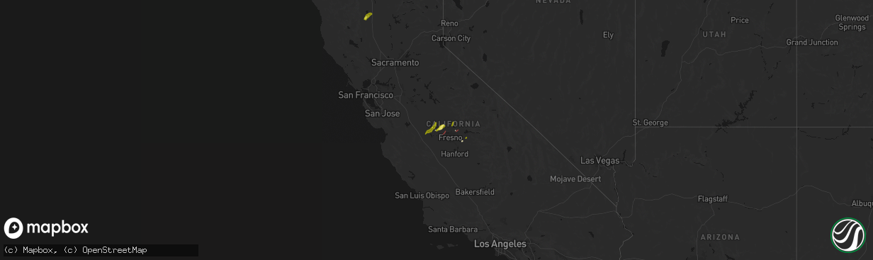
Hail Map on April 21, 2026
The weather event on April 21, 2026 includes Hail and Tornado maps. 4 states and 28 cities were impacted and suffered possible damage. The total estimated number of properties impacted is 59,676.
Hail
Tornado
59,676
Estimated number of impacted properties by a 1.00" hail or larger0
Estimated number of impacted properties by a 1.75" hail or larger0
Estimated number of impacted properties by a 2.50" hail or largerStates Impacted by Hail Map on April 21, 2026
Storm reports
Wisconsin
| Date | Description |
|---|---|
| 04/21/20261:19 PM CDT | Report from mping: quarter |
| 04/21/202612:56 PM CDT | Report from mping: quarter |
| 04/21/202612:26 PM CDT | Report from mping: quarter |
| 04/21/202612:24 PM CDT | Milwaukee airport observer pictures. |
| 04/21/202612:21 PM CDT | Observation with pictures. |
California
| Date | Description |
|---|---|
| 04/21/20266:00 PM CDT | Merced county oes reported property damage to a farm and house. |
| 04/21/20265:55 PM CDT | Reports of many trees down and broken branches near ballico and cressey along merced river bottom. Also some damage to vehicles due to the downed trees. |
| 04/21/20265:36 PM CDT | Report from mping: quarter |
Cities Impacted by Hail Map on April 21, 2026
- East Troy, WI
- Burlington, WI
- Waterford, WI
- Kansasville, WI
- Union Grove, WI
- Oak Creek, WI
- Cudahy, WI
- Milwaukee, WI
- Greendale, WI
- Saint Francis, WI
- Franksville, WI
- Caledonia, WI
- Sturtevant, WI
- Racine, WI
- Kenosha, WI
- Oak Forest, IL
- Fresno, CA
- Madera, CA
- Marathon, TX
- Willows, CA
- Firebaugh, CA
- Chowchilla, CA
- Orland, CA
- Friant, CA
- Reedley, CA
- Squaw Valley, CA
- Dunlap, CA
- Clovis, CA