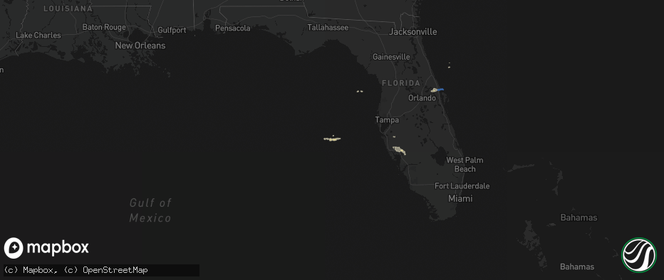
Hail Map on May 2, 2026
The weather event on May 2, 2026 includes Hail and Wind maps. 1 state and 7 cities were impacted and suffered possible damage. The total estimated number of properties impacted is 0.
Hail
Wind
0
Estimated number of impacted properties by a 1.00" hail or larger0
Estimated number of impacted properties by a 1.75" hail or larger0
Estimated number of impacted properties by a 2.50" hail or largerStates Impacted by Hail Map on May 2, 2026
Storm reports
Florida
| Date | Description |
|---|---|
| 05/02/20262:55 PM CDT | Dead trees on the side of i-75 blown over with small tree limbs debris in roadway. |
| 05/02/20261:47 PM CDT | Cocoa beach... Cape canaveral air force station skid strip measured a peak wind gust of 59mph/51kt from the west at 2:47 pm. |
| 05/02/202612:25 PM CDT | Downed tree damaged a car in southeast ocala. Time estimated via radar. |
| 05/02/202612:25 PM CDT | Damage to a roof and gutters in the marion oaks area. Time estimated via radar. |