Hail Map on May 5, 2026
The weather event on May 5, 2026 includes Hail map. 5 states and 47 cities were impacted and suffered possible damage. The total estimated number of properties impacted is 9,737.
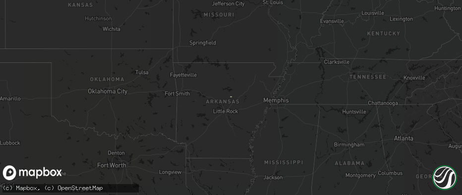
Hail
9,737
Estimated number of impacted properties by a 1.00" hail or larger345
Estimated number of impacted properties by a 1.75" hail or larger0
Estimated number of impacted properties by a 2.50" hail or largerStorm reports
Pennsylvania
| Date | Description |
|---|---|
| 05/04/20268:12 PM CDT | Report of a tree down fully covering the road. Time estimated based on radar. |
Texas
| Date | Description |
|---|---|
| 05/05/20266:55 AM CDT | A local report indicates 1.75 inch wind near 6 ENE Sonora |
New York
| Date | Description |
|---|---|
| 05/05/20262:41 PM CDT | Tree down across the roadway on guard rail. |
Arkansas
| Date | Description |
|---|---|
| 05/05/20263:02 AM CDT | A local report indicates 1.00 inch wind near 2 E Hot Springs |
| 05/05/20262:15 AM CDT | A tree was knocked down onto the railroad tracks at this location. Just before 8 am cdt a train collided with the downed tree. The train came to a stop which blocked tr |
Ohio
| Date | Description |
|---|---|
| 05/04/20267:31 PM CDT | Power pole and lines down at a residence on route 558. Time estimated from radar. |
Maine
| Date | Description |
|---|---|
| 05/05/20264:24 PM CDT | Delayed report: minor structural damage to houses in hanover with shingles blown off roofs and scattered tree damage. Time estimated from radar. |
| 05/05/20264:19 PM CDT | Corrects previous non-tstm wnd dmg report from 3 w presque isle. Large tree down partially blocking garland road in mapleton. |
Kansas
| Date | Description |
|---|---|
| 05/05/20261:10 PM CDT | Delayed report: several large trees were uprooted and a few electric poles were snapped in waverly. Time estimated by radar. |
Utah
| Date | Description |
|---|---|
| 05/05/202612:20 AM CDT | Mesonet station utkno i-80 at mp 40 knolls. |
New Hampshire
| Date | Description |
|---|---|
| 05/05/20263:45 PM CDT | Trees and utility wires down. |
| 05/05/20263:45 PM CDT | Trees and wires down on gould road. |
Cities Impacted by Hail Map on May 5, 2026
- Romance, AR
- Garden City, TX
- Crescent Valley, NV
- Honobia, OK
- Millington, TN
- Drummonds, TN
- Nashoba, OK
- Arlington, TN
- Atoka, TN
- Brighton, TN
- Smithville, OK
- Somerville, TN
- Mena, AR
- Lonsdale, AR
- Benton, AR
- Whiteville, TN
- Bryant, AR
- Alexander, AR
- Hot Springs National Park, AR
- Little Rock, AR
- Hatfield, AR
- Boles, AR
- Norman, AR
- Mabelvale, AR
- Bolivar, TN
- Bauxite, AR
- Malvern, AR
- Caddo Gap, AR
- Toone, TN
- Mount Ida, AR
- Bonnerdale, AR
- Glenwood, AR
- Royal, AR
- Langley, AR
- Story, AR
- Pearcy, AR
- Mountain Pine, AR
- Hot Springs Village, AR
- Hensley, AR
- Bismarck, AR
- Traskwood, AR
- Prattsville, AR
- Sheridan, AR
- Comstock, TX
- Ozona, TX
- Dryden, TX
- Sonora, TX