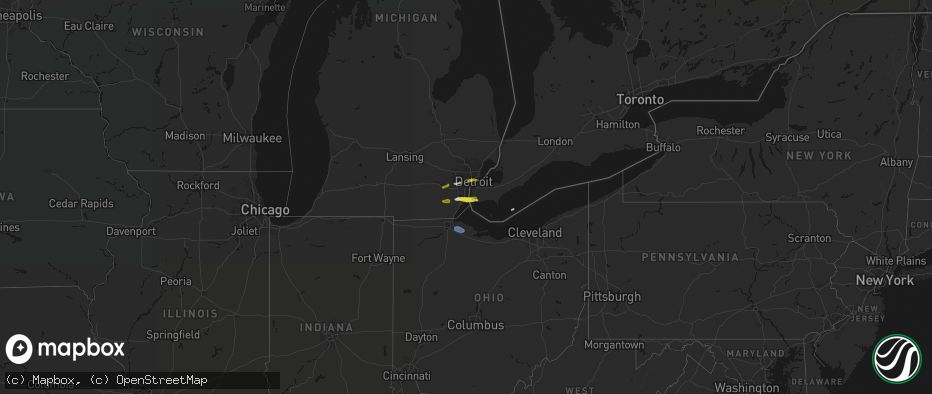
Hail Map on June 14, 2026
The weather event on June 14, 2026 includes Hail and Wind maps. 6 states and 42 cities were impacted and suffered possible damage. The total estimated number of properties impacted is 31,430.
Hail
Wind
31,430
Estimated number of impacted properties by a 1.00" hail or larger0
Estimated number of impacted properties by a 1.75" hail or larger0
Estimated number of impacted properties by a 2.50" hail or largerStates Impacted by Hail Map on June 14, 2026
Storm reports
South Carolina
| Date | Description |
|---|---|
| 06/14/202611:35 AM CDT | Tree down on north homestead road. |
| 06/14/202611:35 AM CDT | Tree down near gentry memorial highway and griffin mill road. |
Missouri
| Date | Description |
|---|---|
| 06/14/20267:50 AM CDT | Mesonet station gw4435 dora. |
Georgia
| Date | Description |
|---|---|
| 06/14/202612:26 PM CDT | Tree down on beatenbough road. |
Tennessee
| Date | Description |
|---|---|
| 06/14/20262:26 PM CDT | Em reports tree on residence on countrywood drive... With powerpole down in backyard. |
| 06/14/20262:10 PM CDT | Tree blocking road reported by ema. Time estimated. |
| 06/14/20262:06 PM CDT | Em reports a large tree has fallen across bluff road. Time estimated. |
Ohio
| Date | Description |
|---|---|
| 06/14/20262:09 PM CDT | Tree down on a car. |
| 06/14/20262:04 PM CDT | Asos station kbkl cleveland. |
| 06/14/20261:41 PM CDT | At least a half dozen trees down across lorain. |
| 06/14/20261:29 PM CDT | Tree down on power lines on field road with power out in the area. |
| 06/14/20261:28 PM CDT | Large tree limb down from thunderstorms. |
| 06/14/20261:25 PM CDT | Tree down in downtown huron. |
| 06/14/20261:20 PM CDT | Large maple tree down. Recorded 49 mph wind gust. |
| 06/14/20261:10 PM CDT | Large tree limb down. |
| 06/14/20261:04 PM CDT | Tree down in driveway. |
| 06/14/202612:55 PM CDT | Tree down on driveway. |
| 06/14/202612:30 PM CDT | 59 mph measured gust on home weather station. |
Michigan
| Date | Description |
|---|---|
| 06/14/202611:45 AM CDT | A local report indicates 1.00 inch wind near South Rockwood |
Cities Impacted by Hail Map on June 14, 2026
- Ann Arbor, MI
- Ypsilanti, MI
- Dearborn, MI
- Detroit, MI
- Dundee, MI
- Milan, MI
- Maybee, MI
- Carleton, MI
- South Rockwood, MI
- Newport, MI
- Rockwood, MI
- Wayne, MI
- Westland, MI
- Walhalla, SC
- Tamassee, SC
- Salem, SC
- Six Mile, SC
- Sunset, SC
- Pickens, SC
- Canton, MI
- Inkster, MI
- Garden City, MI
- Galivants Ferry, SC
- Millbury, OH
- Curtice, OH
- Northwood, OH
- Genoa, OH
- Clay Center, OH
- Graytown, OH
- Martin, OH
- Woodville, OH
- Elmore, OH
- Jacksonville, NC
- Jesup, GA
- Maysville, NC
- Georgetown, SC
- Murrells Inlet, SC
- Myrtle Beach, SC
- Bucyrus, OH
- Van Horn, TX
- Bowersville, GA
- Canon, GA