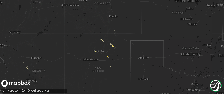
Hail Map on June 15, 2026
The weather event on June 15, 2026 includes Hail map. 5 states and 21 cities were impacted and suffered possible damage. The total estimated number of properties impacted is 55.
Hail
55
Estimated number of impacted properties by a 1.00" hail or larger0
Estimated number of impacted properties by a 1.75" hail or larger0
Estimated number of impacted properties by a 2.50" hail or largerStates Impacted by Hail Map on June 15, 2026
Storm reports
South Dakota
| Date | Description |
|---|---|
| 06/15/20264:08 PM CDT | A local report indicates 63 MPH wind near 3 NNW Wolsey |
| 06/15/20263:42 PM CDT | Public report on facebook... With photo of a dumpster having been blown over by the winds. Time estimated by radar. |
| 06/15/20263:40 PM CDT | Mesonet station rhms2 rockham 6sse |
| 06/15/20263:24 PM CDT | Mesonet station 158 miranda |
| 06/15/20263:15 PM CDT | A local report indicates 59 MPH wind near 4 ESE Faulkton |
| 06/15/20263:14 PM CDT | Mesonet station 215 polo 17 w jct sd47/sd26 |
| 06/15/20263:05 PM CDT | Mesonet station onms2 onida 13wsw |
| 06/15/20262:47 PM CDT | Mesonet station 325 seneca 5w |
| 06/15/20261:50 PM CDT | Mesonet station mcms2 mound city 4 sw |
| 06/15/20261:39 PM CDT | Asos station kmbg mobridge muni ap. |
| 06/15/20261:09 PM CDT | Mesonet station 205 mclaughlin |
Florida
| Date | Description |
|---|---|
| 06/15/202611:48 AM CDT | Tree reported down on russ road. |