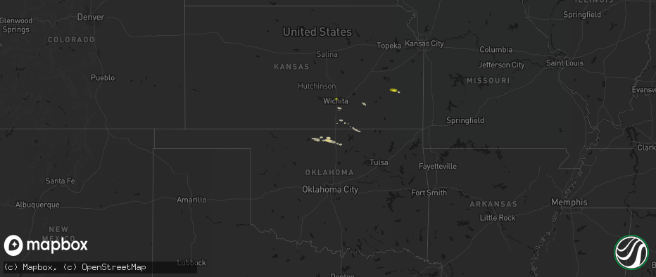
Hail Map on June 18, 2026
The weather event on June 18, 2026 includes Tornado and Hail maps. 4 states and 20 cities were impacted and suffered possible damage. The total estimated number of properties impacted is 1,092.
Tornado
Hail
1,092
Estimated number of impacted properties by a 1.00" hail or larger0
Estimated number of impacted properties by a 1.75" hail or larger0
Estimated number of impacted properties by a 2.50" hail or largerStates Impacted by Hail Map on June 18, 2026
Storm reports
Louisiana
| Date | Description |
|---|---|
| 06/18/20267:14 AM CDT | Social media report of powerlines... Trees and fences down in lakeshore village. Possible tornado. |
Kansas
| Date | Description |
|---|---|
| 06/18/20267:10 AM CDT | Report via social media. |
Kentucky
| Date | Description |
|---|---|
| 06/18/20268:05 AM CDT | West of intersection wires completely down obstructing the road. |
West Virginia
| Date | Description |
|---|---|
| 06/18/20268:04 AM CDT | Power line down along wolfe bottom road. |
| 06/18/20267:49 AM CDT | Tree down on athens road. |
| 06/18/20267:47 AM CDT | Large tree down on matoaka road. |
| 06/18/20267:30 AM CDT | Tree down covering anvil rock lane. |
| 06/18/20267:20 AM CDT | Multiple trees down in sophia... Helen and coal city communities. |