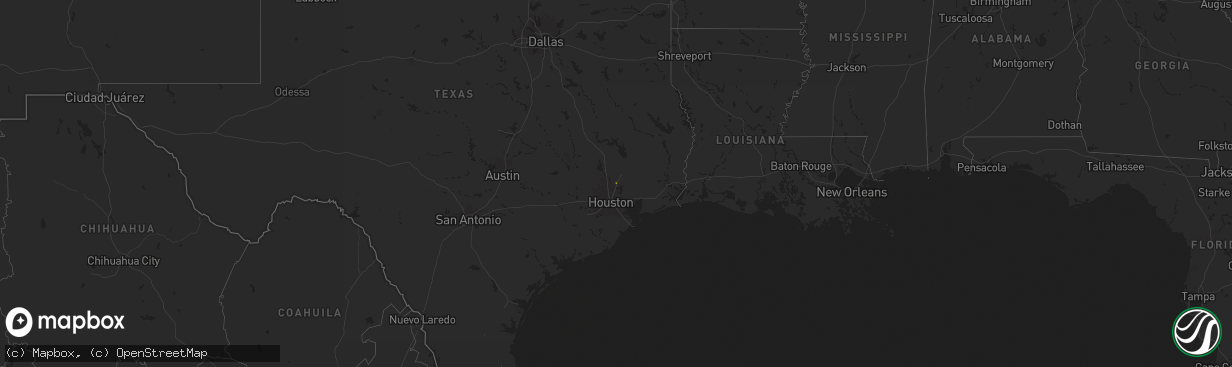
Hail Map on November 25, 2025
The weather event on November 25, 2025 includes Hail and Wind maps. 3 states and 48 cities were impacted and suffered possible damage. The total estimated number of properties impacted is 206.
Hail
Wind
206
Estimated number of impacted properties by a 1.00" hail or larger98
Estimated number of impacted properties by a 1.75" hail or larger62
Estimated number of impacted properties by a 2.50" hail or largerStates Impacted by Hail Map on November 25, 2025
Storm reports
Alabama
| Date | Description |
|---|---|
| 11/25/20252:50 PM CST | Reports of several trees down across the vestavia area. Time estimated from radar. |
| 11/25/20256:00 AM CST | Tree down on a powerline in centre. |
Nebraska
| Date | Description |
|---|---|
| 11/25/20259:49 AM CST | A local report indicates 63 MPH wind near 13 WNW Merritt Reservoi |
| 11/25/20259:49 AM CST | . |
Georgia
| Date | Description |
|---|---|
| 11/25/20257:30 AM CST | A tree was downed on kimball bridge road at tuxford drive. |
| 11/25/20256:45 AM CST | A vehicle crashed into a downed tree on iron hill road near taylorsville. No injuries reported. |
| 11/25/20256:40 AM CST | Tree down near the intersection of bethlehem rd and old cedartown rd. |
| 11/25/20256:25 AM CST | Tree down along fish creek rd per em. |
Cities Impacted by Hail Map on November 25, 2025
- Porter, TX
- New Caney, TX
- Huffman, TX
- Cleveland, TX
- Berry, AL
- Adger, AL
- Oakman, AL
- Northport, AL
- Bessemer, AL
- Parrish, AL
- Quinton, AL
- Mulga, AL
- Adamsville, AL
- Dora, AL
- Mount Olive, AL
- Birmingham, AL
- Graysville, AL
- Gardendale, AL
- Cordova, AL
- Brookside, AL
- Docena, AL
- Fultondale, AL
- Pleasant Grove, AL
- Gordo, AL
- Eutaw, AL
- Knoxville, AL
- Ralph, AL
- Tuscaloosa, AL
- Akron, AL
- Brookwood, AL
- Cottondale, AL
- Fosters, AL
- Moundville, AL
- Tallassee, AL
- Vance, AL
- Notasulga, AL
- McCalla, AL
- Biloxi, MS
- Saucier, MS
- Vancleave, MS
- Diberville, MS
- San Ygnacio, TX
- Zapata, TX
- Laredo, TX
- New Brockton, AL
- Realitos, TX
- Hebbronville, TX
- Camp Hill, AL