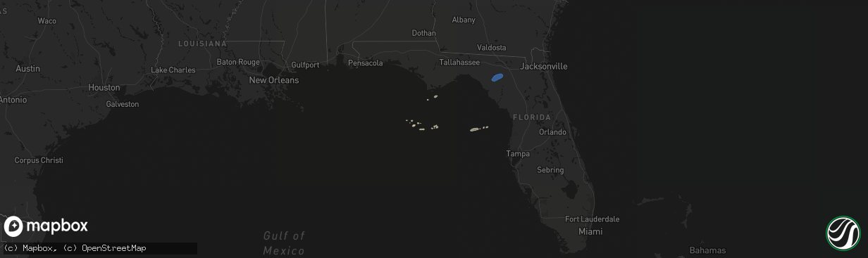
Hail Map on February 15, 2026
The weather event on February 15, 2026 includes Hail and Wind maps. 1 state and 4 cities were impacted and suffered possible damage. The total estimated number of properties impacted is 0.
Hail
Wind
0
Estimated number of impacted properties by a 1.00" hail or larger0
Estimated number of impacted properties by a 1.75" hail or larger0
Estimated number of impacted properties by a 2.50" hail or largerStates Impacted by Hail Map on February 15, 2026
Storm reports
Florida
| Date | Description |
|---|---|
| 02/15/20262:57 PM CST | Trees down on wires in day... Mayo... And hatch bend. Time estimated from radar. |
| 02/15/20262:12 PM CST | A wash house... Including clothes washer and dryer... Were thrown into a pond. |
| 02/15/202611:30 AM CST | A tree on a line resulted in a power outage in the woodville area. |
| 02/15/202611:30 AM CST | Debris blew into power lines and resulted in a power outage. |
| 02/15/202610:54 AM CST | There was a tree down on n meridian rd at gardner. |
| 02/15/202610:40 AM CST | A tree on a line resulted in a power outage for the brickyard substation via talquin. |
| 02/15/202610:23 AM CST | Tree blown down into eastbound lanes of i-10 at mm 179... Causing a traffic backup. Radar estimated time. |
| 02/15/202610:23 AM CST | Lost a big tree and numerous branches blown down in the wetumpka community. |
| 02/15/202610:20 AM CST | Tree down along mt. Pleasant rd. |
| 02/15/202610:00 AM CST | Tree down near sr 12 and garden of eden rd. |
| 02/15/202610:00 AM CST | Trees fell onto some dog pens in the bristol area. The dogs were not harmed. Reported via social media. |
| 02/15/202610:00 AM CST | A phone pole and tree were blown down next to sr 71 near the ace hardware. |
| 02/15/202610:00 AM CST | Tree blown down and blocking nw durham rd. |
Georgia
| Date | Description |
|---|---|
| 02/15/202610:56 AM CST | Report of several trees down. Time estimated by radar. |
| 02/15/202610:55 AM CST | A tree was blown across shiloh rd in the 200 block. |
| 02/15/202610:46 AM CST | Grady emc reports a broken power pole... Affecting 109 members. |
| 02/15/202610:07 AM CST | This updates the location of an earlier lsr focused on spring creek rd. A car was blown off the road and trees blown down at spring creek rd and pineywoods dr. |
| 02/15/202610:02 AM CST | Tree down across collie hill road. Time estimated from radar. |
| 02/15/20269:59 AM CST | Quite a few trees blown down along spring creek rd. A car was blown off the road. |
Louisiana
| Date | Description |
|---|---|
| 02/15/20266:58 AM CST | One small pine tree snapped halfway down the trunk along lee rd/highway 1129. Trunk was 10 inches in diameter where it snapped. |
| 02/15/20266:53 AM CST | Numerous small limb debris and scattered larger limbs with diameter greater than 3 inches. |
| 02/15/20266:52 AM CST | Scattered small to medium branch debris. Some branches were 5 inches in diameter. |
| 02/15/20266:52 AM CST | A few large branches broken along north factory rd before la 437. |
| 02/15/20266:48 AM CST | Mostly scattered small limb debris but a few limbs larger than 3 inches in diameter wee broken. |