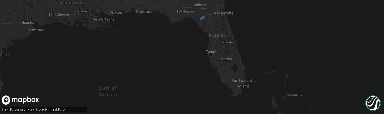
Hail Map in Florida on February 15, 2026
The weather event in Florida on February 15, 2026 includes Hail and Wind maps. 1 state and 4 cities were impacted and suffered possible damage. The total estimated number of properties impacted is 0.
Hail
Wind
0
Estimated number of impacted properties by a 1.00" hail or larger0
Estimated number of impacted properties by a 1.75" hail or larger0
Estimated number of impacted properties by a 2.50" hail or largerStorm reports in Florida
Florida
| Date | Description |
|---|---|
| 02/15/20262:57 PM CST | Trees down on wires in day... Mayo... And hatch bend. Time estimated from radar. |
| 02/15/20262:12 PM CST | A wash house... Including clothes washer and dryer... Were thrown into a pond. |
| 02/15/202611:30 AM CST | Debris blew into power lines and resulted in a power outage. |
| 02/15/202611:30 AM CST | A tree on a line resulted in a power outage in the woodville area. |
| 02/15/202610:54 AM CST | There was a tree down on n meridian rd at gardner. |
| 02/15/202610:40 AM CST | A tree on a line resulted in a power outage for the brickyard substation via talquin. |
| 02/15/202610:23 AM CST | Tree blown down into eastbound lanes of i-10 at mm 179... Causing a traffic backup. Radar estimated time. |
| 02/15/202610:23 AM CST | Lost a big tree and numerous branches blown down in the wetumpka community. |
| 02/15/202610:20 AM CST | Tree down along mt. Pleasant rd. |
| 02/15/202610:00 AM CST | Tree blown down and blocking nw durham rd. |
| 02/15/202610:00 AM CST | Tree down near sr 12 and garden of eden rd. |
| 02/15/202610:00 AM CST | A phone pole and tree were blown down next to sr 71 near the ace hardware. |
| 02/15/202610:00 AM CST | Trees fell onto some dog pens in the bristol area. The dogs were not harmed. Reported via social media. |


