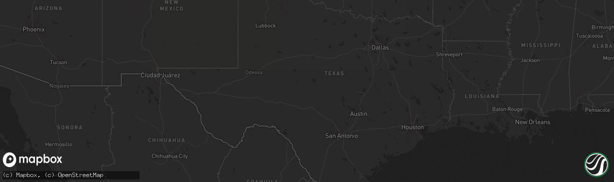
Hail Map in Texas on August 24, 2025
The weather event in Texas on August 24, 2025 includes Hail and Wind maps. 12 states and 167 cities were impacted and suffered possible damage. The total estimated number of properties impacted is 449.
Hail
Wind
449
Estimated number of impacted properties by a 1.00" hail or larger130
Estimated number of impacted properties by a 1.75" hail or larger0
Estimated number of impacted properties by a 2.50" hail or largerStorm reports in Texas
Texas
| Date | Description |
|---|---|
| 08/23/202511:10 PM CDT | Donley county sheriff office reported irrigation pivots and a barn blown over just northeast of howardwick. Tree branches were also snapped and torn off of trees. |
| 08/23/202511:10 PM CDT | Donley county sheriff office report |
| 08/23/202511:10 PM CDT | Donley county sher |
| 08/23/202511:10 PM CDT | Donley county she |
| 08/23/202511:10 PM CDT | Donley county sheriff office reported irriga |
| 08/23/20259:23 PM CDT | A few intermittent wind gusts occurred at around 60 mph in the 15 minutes before the 82 mph wind gust occurred. |
| 08/23/20259:23 PM CDT | A few intermittent wind gusts occurred at ar |
| 08/23/20257:52 PM CDT | Photo and video sources showed a barn knocked over located wnw of allison. |
All States Impacted by Hail Map on August 24, 2025
Cities Impacted by Hail Map on August 24, 2025
- North Platte, NE
- Imperial, NE
- Enders, NE
- Wauneta, NE
- La Crosse, KS
- Nekoma, KS
- Rush Center, KS
- Palisade, NE
- Larned, KS
- Miller, NE
- Sumner, NE
- Brule, NE
- Big Springs, NE
- Marion, NY
- Palmyra, NY
- Newark, NY
- Macedon, NY
- Walworth, NY
- Quinter, KS
- Venango, NE
- Sodus, NY
- Lyons, NY
- Clyde, NY
- North Rose, NY
- Savannah, NY
- Wolcott, NY
- Fulton, NY
- Phoenix, NY
- Central Square, NY
- Parish, NY
- Port Byron, NY
- Red Creek, NY
- Cato, NY
- Mexico, NY
- Bloomfield, NY
- Victor, NY
- Canandaigua, NY
- Farmington, NY
- Shortsville, NY
- Clifton Springs, NY
- Manchester, NY
- Weedsport, NY
- Williamstown, NY
- West Monroe, NY
- Altmar, NY
- Camden, NY
- Redfield, NY
- Hanston, KS
- Waterloo, NY
- Seneca Falls, NY
- Montezuma, NY
- Kinsley, KS
- Jordan, NY
- Elbridge, NY
- Spearville, KS
- Offerle, KS
- Auburn, NY
- Syracuse, NY
- Baldwinsville, NY
- Warners, NY
- Memphis, NY
- Camillus, NY
- Escalante, UT
- Bucklin, KS
- Liverpool, NY
- Greensburg, KS
- Arriba, CO
- Clay, NY
- Flagler, CO
- Cicero, NY
- East Syracuse, NY
- Hannibal, NY
- Hastings, NY
- Colorado Springs, CO
- Pennellville, NY
- Bridgeport, NY
- Cripple Creek, CO
- Martville, NY
- Skaneateles, NY
- Fountain, CO
- Hugo, CO
- Canton, NY
- Potsdam, NY
- Colton, NY
- Pueblo, CO
- Kit Carson, CO
- Kirkland, AZ
- Corning, NY
- Karval, CO
- Beaver Dams, NY
- Horseheads, NY
- Thermal, CA
- Lipscomb, TX
- Higgins, TX
- Canadian, TX
- Rush, CO
- Reydon, OK
- Simla, CO
- Eads, CO
- Vici, OK
- Walsenburg, CO
- Erin, NY
- Sharon, OK
- Arnett, OK
- Ordway, CO
- Briscoe, TX
- Woodward, OK
- Mutual, OK
- Leedey, OK
- Camargo, OK
- Taloga, OK
- Ramah, CO
- Haswell, CO
- Sweetwater, OK
- Butler, OK
- Custer City, OK
- Wheeler, TX
- Sugar City, CO
- Calhan, CO
- Agate, CO
- Durham, OK
- Clinton, OK
- Grantsville, WV
- Big Bend, WV
- Pinon, AZ
- Elkland, PA
- Arapaho, OK
- Shamrock, TX
- Pampa, TX
- Marietta, NY
- Limon, CO
- Bosler, WY
- Foss, OK
- Cordell, OK
- Dill City, OK
- Canute, OK
- Laramie, WY
- Big Springs, WV
- Mobeetie, TX
- Lowman, NY
- Flemington, WV
- Bridgeport, WV
- Genoa, CO
- Dugway, UT
- Wendover, UT
- Woodrow, CO
- Clarendon, TX
- Anton, CO
- Lindon, CO
- Haviland, KS
- Wilmore, KS
- Mullinville, KS
- Muncy Valley, PA
- Hughesville, PA
- Williamsport, PA
- Akron, CO
- Cope, CO
- Yuma, CO
- Addison, NY
- Huntingdon, PA
- Petersburg, PA
- Paw Paw, WV
- Marcellus, NY
- Matheson, CO
- Holyoke, CO
- Sells, AZ
- Grant, NE


