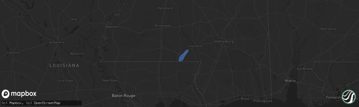
Hail Map in Tylertown, MS on January 9, 2026
The weather event in Tylertown, MS on January 9, 2026 includes Wind, Tornado, and Hail maps. 5 states and 334 cities were impacted and suffered possible damage. The total estimated number of properties impacted is 0.
Wind
Tornado
Hail
0
Estimated number of impacted properties by a 1.00" hail or larger0
Estimated number of impacted properties by a 1.75" hail or larger0
Estimated number of impacted properties by a 2.50" hail or largerStorm reports in Tylertown, MS
Tylertown, MS
| Date | Description |
|---|---|
| 01/09/20266:34 AM CST | Tds noted along branton bay road. |
| 01/09/20266:33 AM CST | A ef-1 tornado crossed into western marion county near kokomo. The tornado caused some tree damage near the intersection of welch lane and branton bay road. The tornado |
| 01/09/20266:32 AM CST | Likely a tornado... Where a debris signature was seen on radar. Will need to survey to confirm. |
| 01/09/20266:23 AM CST | *delayed* nws ground survey confirmed an ef-1 tornado occurred in eastern walthall county. Continued into marion county. |
All States Impacted by Hail Map on January 9, 2026
All Cities Impacted by Hail Map on January 9, 2026
- Tylertown, MS
- Foxworth, MS
- Camden, MS
- Carthage, MS
- Laurel, MS
- San Saba, TX
- Lometa, TX
- Goldthwaite, TX
- Evant, TX
- Lampasas, TX
- Purmela, TX
- Jonesboro, TX
- Star, TX
- Hamilton, TX
- Gatesville, TX
- Clifton, TX
- Valley Mills, TX
- Whitney, TX
- Niagara Falls, NY
- Grand Island, NY
- Buffalo, NY
- Sanborn, NY
- Tonawanda, NY
- Lewiston, NY
- Niagara University, NY
- Lockport, NY
- North Tonawanda, NY
- Kilgore, TX
- East Amherst, NY
- Getzville, NY
- Clarence Center, NY
- Gasport, NY
- Depew, NY
- Akron, NY
- Clarence, NY
- Bowmansville, NY
- Middleport, NY
- Medina, NY
- Lancaster, NY
- Basom, NY
- Elma, NY
- Boston, NY
- Glenwood, NY
- East Aurora, NY
- Colden, NY
- West Falls, NY
- Alden, NY
- Orchard Park, NY
- Marilla, NY
- Holland, NY
- Hamburg, NY
- South Wales, NY
- East Concord, NY
- Lake View, NY
- Springville, NY
- Eden, NY
- Derby, NY
- North Collins, NY
- Angola, NY
- Lawtons, NY
- Irving, NY
- Silver Creek, NY
- Dunkirk, NY
- Gowanda, NY
- Forestville, NY
- Perrysburg, NY
- Collins, NY
- Sheridan, NY
- Van Buren Point, NY
- Fredonia, NY
- Westfield, NY
- Brocton, NY
- Portland, NY
- South Dayton, NY
- Dewittville, NY
- Mayville, NY
- Stockton, NY
- Cassadaga, NY
- Dayton, NY
- Lily Dale, NY
- Cherry Creek, NY
- Sinclairville, NY
- East Otto, NY
- Cattaraugus, NY
- Conewango Valley, NY
- Gerry, NY
- Falconer, NY
- Kennedy, NY
- West Valley, NY
- Randolph, NY
- Little Valley, NY
- Salamanca, NY
- Ellicottville, NY
- Frewsburg, NY
- Steamburg, NY
- Great Valley, NY
- Machias, NY
- Kill Buck, NY
- Delevan, NY
- Limestone, NY
- Allegany, NY
- Franklinville, NY
- Hinsdale, NY
- Olean, NY
- Chaffee, NY
- Cowlesville, NY
- Freedom, NY
- Oakfield, NY
- Corfu, NY
- Java Center, NY
- Albion, NY
- Sardinia, NY
- Yorkshire, NY
- Arcade, NY
- North Java, NY
- Attica, NY
- Varysburg, NY
- Darien Center, NY
- Strykersville, NY
- Java Village, NY
- Alexander, NY
- Elba, NY
- Farmersville Station, NY
- Bliss, NY
- Cuba, NY
- East Pembroke, NY
- Gainesville, NY
- Batavia, NY
- Stafford, NY
- Rushford, NY
- Le Roy, NY
- Silver Springs, NY
- Dale, NY
- East Bethany, NY
- Holley, NY
- Warsaw, NY
- Churchville, NY
- Houghton, NY
- Pavilion, NY
- Brockport, NY
- Spencerport, NY
- Wyoming, NY
- Byron, NY
- South Byron, NY
- Fillmore, NY
- Bergen, NY
- Scottsville, NY
- Leicester, NY
- York, NY
- Rochester, NY
- Rush, NY
- Piffard, NY
- Black Creek, NY
- West Henrietta, NY
- Portageville, NY
- Retsof, NY
- Avon, NY
- Caneadea, NY
- Castile, NY
- Silver Lake, NY
- North Chili, NY
- Mumford, NY
- Perry, NY
- Hunt, NY
- Mount Morris, NY
- Linwood, NY
- Caledonia, NY
- Westons Mills, NY
- Belmont, NY
- Nunda, NY
- Canaseraga, NY
- Swain, NY
- Friendship, NY
- Angelica, NY
- Belfast, NY
- Wellsville, NY
- Geneseo, NY
- Dalton, NY
- Bolivar, NY
- Honeoye Falls, NY
- Dansville, NY
- Portville, NY
- Scio, NY
- Almond, NY
- Hilton, NY
- Penfield, NY
- Bloomfield, NY
- Lima, NY
- Scottsburg, NY
- East Rochester, NY
- Lakeville, NY
- Fairport, NY
- Livonia, NY
- West Bloomfield, NY
- Hemlock, NY
- Victor, NY
- Mendon, NY
- Conesus, NY
- Pittsford, NY
- Ionia, NY
- Groveland, NY
- Arkport, NY
- Henrietta, NY
- Wayland, NY
- Farmington, NY
- Springwater, NY
- Clifton Springs, NY
- Palmyra, NY
- Naples, NY
- Newark, NY
- Honeoye, NY
- Canandaigua, NY
- Phelps, NY
- Walworth, NY
- Manchester, NY
- Shortsville, NY
- Lyons, NY
- Rushville, NY
- Alfred Station, NY
- Hornell, NY
- Macedon, NY
- Andover, NY
- Middlesex, NY
- Alfred, NY
- Cohocton, NY
- Canisteo, NY
- Prattsburgh, NY
- Atlanta, NY
- Greenwood, NY
- Avoca, NY
- Stanley, NY
- Penn Yan, NY
- Bath, NY
- Cameron, NY
- Geneva, NY
- Branchport, NY
- Jasper, NY
- Savona, NY
- Woodhull, NY
- Cameron Mills, NY
- Campbell, NY
- Hammondsport, NY
- Addison, NY
- Hall, NY
- Keuka Park, NY
- Pulteney, NY
- Dundee, NY
- Painted Post, NY
- Bradford, NY
- Bellona, NY
- Corning, NY
- Nichols, NY
- Horseheads, NY
- Waverly, NY
- Lowman, NY
- Big Flats, NY
- Rome, PA
- Sayre, PA
- Elmira, NY
- Warren Center, PA
- Chemung, NY
- Milan, PA
- Pine City, NY
- Towanda, PA
- Wyalusing, PA
- Columbia Cross Roads, PA
- Sugar Run, PA
- Gillett, PA
- East Smithfield, PA
- Ulster, PA
- Natchitoches, LA
- Cloutierville, LA
- Longview, TX
- White Oak, TX
- Gladewater, TX
- Winnfield, LA
- Atlanta, LA
- Jamestown, NY
- Russell, PA
- Bradford, PA
- Derrick City, PA
- Eldred, PA
- Little Genesee, NY
- Shinglehouse, PA
- Duke Center, PA
- Ceres, NY
- Jacksonville, TX
- Grapeland, TX
- Columbia, LA
- Grayson, LA
- Rayville, LA
- Hallettsville, TX
- Yoakum, TX
- Lufkin, TX
- Logansport, LA
- Joaquin, TX
- Mansfield, LA
- Grand Cane, LA
- Spring, TX
- Coushatta, LA
- Shreveport, LA
- Porter, TX
- Kingwood, TX
- Humble, TX
- Castor, LA
- Hall Summit, LA
- Ashland, LA
- Bogue Chitto, MS
- Brookhaven, MS
- Sontag, MS
- Monticello, MS
- Silver Creek, MS
- Newhebron, MS
- Taylorsville, MS
- Soso, MS
- Stringer, MS
- Bay Springs, MS
- Louin, MS
- Oak Vale, MS
- Prentiss, MS
- Carson, MS
- Bassfield, MS
- Heidelberg, MS
- Paulding, MS
- Rose Hill, MS
- Vossburg, MS
- Pachuta, MS
- Sumrall, MS
- Collins, MS
- Quitman, MS
- Shubuta, MS
- Enterprise, MS
- Stonewall, MS
- Kokomo, MS


