Hail Map in Georgia on March 26, 2016
The weather event in Georgia on March 26, 2016 includes Hail map. 7 states and 86 cities were impacted and suffered possible damage. The total estimated number of properties impacted is 255.
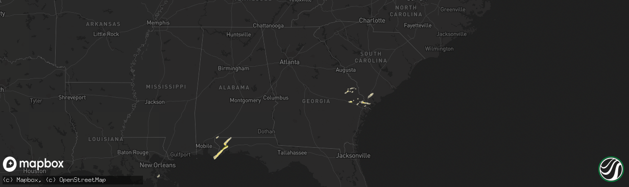
Hail
255
Estimated number of impacted properties by a 1.00" hail or larger0
Estimated number of impacted properties by a 1.75" hail or larger0
Estimated number of impacted properties by a 2.50" hail or largerStorm reports in Georgia
Georgia
| Date | Description |
|---|---|
| 03/26/20162:22 PM CDT | Multiple trees reported down along halcyondale rd. Time estimated based on radar. |
| 03/26/20162:16 PM CDT | A local report indicates 1.00 inch wind near DENMARK |
| 03/26/20162:15 PM CDT | Reported residential structure roof collapse on captola road near wagon road. No reported injuries. Time estimated based on radar. |
| 03/26/20161:51 PM CDT | Hail up to quarter size on highway 25 near womack road. |
| 03/26/20161:35 PM CDT | Hail up to quarter size on highway 25 near womack road. |
All States Impacted by Hail Map on March 26, 2016
Cities Impacted by Hail Map on March 26, 2016
- Port Wentworth, GA
- Savannah, GA
- Sorrento, FL
- Sanford, FL
- Walters, OK
- Duncan, OK
- Waurika, OK
- Deltona, FL
- Lawton, OK
- Elgin, OK
- Cache, OK
- Quanah, TX
- Pensacola, FL
- Orange Beach, AL
- Vernon, TX
- Chillicothe, TX
- Loveland, OK
- Webster, FL
- Okatie, SC
- Ridgeland, SC
- Lakeland, FL
- Polk City, FL
- Lillian, AL
- Milton, FL
- Gulf Shores, AL
- Elberta, AL
- Yalaha, FL
- Okahumpka, FL
- Astatula, FL
- Mount Dora, FL
- Tavares, FL
- Century, FL
- McDavid, FL
- Atmore, AL
- Marlow, OK
- Faxon, OK
- Indiahoma, OK
- Frederick, OK
- Davidson, OK
- Wichita Falls, TX
- Hastings, OK
- Chattanooga, OK
- Electra, TX
- Geronimo, OK
- Grandfield, OK
- Devol, OK
- Harrold, TX
- Temple, OK
- Randlett, OK
- Davenport, FL
- Kissimmee, FL
- Holliday, TX
- Seymour, TX
- Auburndale, FL
- Lake Alfred, FL
- Haines City, FL
- Rincon, GA
- Orlando, FL
- Lake Wales, FL
- Sylvania, GA
- Jay, FL
- Guyton, GA
- Hardeeville, SC
- Bluffton, SC
- Iowa Park, TX
- Clermont, FL
- Crystal River, FL
- Register, GA
- Statesboro, GA
- Brooklet, GA
- Sheppard Afb, TX
- Comanche, OK
- Lafitte, LA
- Millen, GA
- Garfield, GA
- Rocky Ford, GA
- Sheldon, SC
- Ellabell, GA
- Seabrook, SC
- Saint Cloud, FL
- Portal, GA
- Debary, FL
- Springfield, GA
- Fletcher, OK
- Yemassee, SC
- Cantonment, FL


