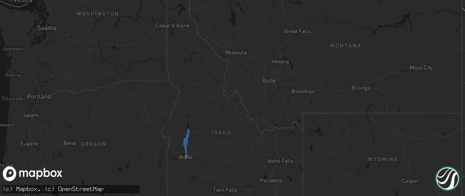
Hail Map in Idaho on May 25, 2026
The weather event in Idaho on May 25, 2026 includes Hail, Wind, and Tornado maps. 14 states and 164 cities were impacted and suffered possible damage. The total estimated number of properties impacted is 0.
Hail
Wind
Tornado
0
Estimated number of impacted properties by a 1.00" hail or larger0
Estimated number of impacted properties by a 1.75" hail or larger0
Estimated number of impacted properties by a 2.50" hail or largerStorm reports in Idaho
Idaho
| Date | Description |
|---|---|
| 05/25/20266:58 PM CDT | Idaho power site w3t8. |
| 05/25/20266:45 PM CDT | Idaho power site w3t2. |
| 05/25/20265:28 PM CDT | Crestline raws. |
| 05/25/20265:15 PM CDT | Large trees down along river greenbelt. |
| 05/25/20265:10 PM CDT | Alaska airlines cargo roof blew off at boise airport... At least one downed wire. |
| 05/25/20264:45 PM CDT | Mesonet station 2996 d3 - hammett hill. |
| 05/25/20263:55 PM CDT | Mesonet station dvi11593 wendell. |
| 05/24/20267:40 PM CDT | Idaho power site w3t7. |
| 05/24/20267:00 PM CDT | Several trees down in ponderosa state park blocking the roads. Via social media. Time estimated. |
All States Impacted by Hail Map on May 25, 2026
Cities Impacted by Hail Map on May 25, 2026
- Cross Plains, TX
- Baird, TX
- Coleman, TX
- Clyde, TX
- Vega, TX
- Wildorado, TX
- Vancourt, TX
- Venus, TX
- Kerens, TX
- Alvarado, TX
- Christoval, TX
- Eldorado, TX
- Midlothian, TX
- Winslow, AZ
- Burleson, TX
- Grand Prairie, TX
- Cedar Hill, TX
- Mabank, TX
- Colleyville, TX
- Fort Worth, TX
- Cleburne, TX
- Newark, TX
- Southlake, TX
- Keller, TX
- North Richland Hills, TX
- Arlington, TX
- Haslet, TX
- Rhome, TX
- Cochran, GA
- Kathleen, GA
- Hawkinsville, GA
- Jeffersonville, GA
- Bonaire, GA
- Dry Branch, GA
- Haltom City, TX
- Hurst, TX
- Ennis, TX
- Waxahachie, TX
- Red Oak, TX
- Niceville, FL
- Italy, TX
- Oakwood, TX
- Bremond, TX
- Heber, AZ
- Buffalo, TX
- Mexia, TX
- Wortham, TX
- Argyle, TX
- Sedona, AZ
- Mayer, AZ
- Euless, TX
- Calvert, TX
- Dallas, TX
- Duncanville, TX
- Purdon, TX
- Dawson, TX
- Blooming Grove, TX
- Franklin, TX
- Jewett, TX
- Lamar, CO
- Freeport, FL
- Santa Teresa, NM
- Anthony, NM
- Hubbard, TX
- Defuniak Springs, FL
- Marquez, TX
- Springfield, CO
- La Mesa, NM
- Grapevine, TX
- Malone, TX
- Mansfield, TX
- Whitney, TX
- Nemo, TX
- Justin, TX
- Garden City, ID
- Horseshoe Bend, ID
- Boise, ID
- Penelope, TX
- Blum, TX
- Valley Mills, TX
- Normangee, TX
- Clifton, TX
- Kim, CO
- Fairfield, TX
- Au Train, MI
- Sweet, ID
- Banks, ID
- Cascade, ID
- Munising, MI
- Jacksboro, TX
- Marble Falls, TX
- Tennessee Colony, TX
- Stuart, NE
- Lovelady, TX
- Palestine, TX
- Junction, TX
- Crockett, TX
- Ola, ID
- Midway, TX
- Holly, CO
- Iola, TX
- Ewing, NE
- Anderson, TX
- Bedias, TX
- Jefferson, SD
- Everly, IA
- Hartley, IA
- Roswell, NM
- Cowarts, AL
- Webb, AL
- Headland, AL
- North Sioux City, SD
- Milford, IA
- Newville, AL
- Sioux City, IA
- Paige, TX
- Florien, LA
- Flint, TX
- Dothan, AL
- Kennard, TX
- Wells, TX
- Finland, MN
- Gallup, NM
- Lawton, IA
- Hemphill, TX
- Alto, TX
- Silver Bay, MN
- Oakdale, NE
- Neligh, NE
- Grant, NE
- Tilden, NE
- Meadow Grove, NE
- Pollok, TX
- Madrid, NE
- Clearwater, NE
- Paxton, NE
- Elsie, NE
- Atkinson, NE
- Lovington, NM
- Emmet, NE
- Estherville, IA
- Bingham Lake, MN
- Mountain Lake, MN
- Kermit, TX
- Dolliver, IA
- Manson, IA
- Ceylon, MN
- Fairmont, MN
- Welcome, MN
- Granada, MN
- Truman, MN
- Springfield, MN
- Sleepy Eye, MN
- Redwood Falls, MN
- Morgan, MN
- Renville, MN
- Burt, IA
- Lone Rock, IA
- Franklin, MN
- Fairfax, MN
- Prinsburg, MN
- Raymond, MN
- Sacred Heart, MN
- Fort Davis, TX


