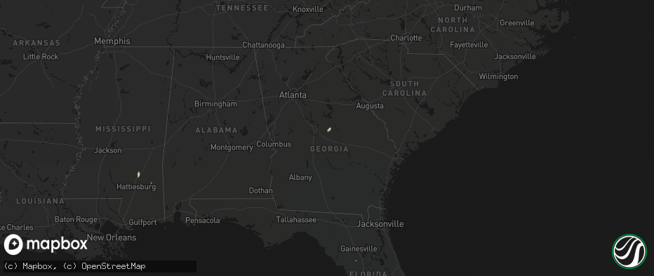
Hail Map in Georgia on May 26, 2026
The weather event in Georgia on May 26, 2026 includes Wind, Hail, and Tornado maps. 14 states and 251 cities were impacted and suffered possible damage. The total estimated number of properties impacted is 0.
Wind
Hail
Tornado
0
Estimated number of impacted properties by a 1.00" hail or larger0
Estimated number of impacted properties by a 1.75" hail or larger0
Estimated number of impacted properties by a 2.50" hail or largerStorm reports in Georgia
Georgia
| Date | Description |
|---|---|
| 05/26/20266:40 PM CDT | Public reports tree down near the intersection of indian island drive and highway 24. |
| 05/26/20266:20 PM CDT | Fire department reports a downed power pole and lines near the intersection of 1st street and old mcintyre road. |
| 05/26/20266:20 PM CDT | Fire department reports downed power lines near the intersection of 1st street and highway 441. |
| 05/26/20266:20 PM CDT | Fire department reports multiple trees and power lines down along pine circle. |
| 05/26/20264:45 PM CDT | Georgia department of transportation reports tree down near the intersection of highway 219 and saint anthony drive. |
All States Impacted by Hail Map on May 26, 2026
Cities Impacted by Hail Map on May 26, 2026
- Alpine, TX
- Fort Davis, TX
- Big Spring, TX
- Dryden, TX
- Silverton, TX
- Lockney, TX
- Crystal City, TX
- Richton, MS
- Tulia, TX
- Happy, TX
- Frankston, TX
- Palestine, TX
- Colorado City, TX
- Brackettville, TX
- Loraine, TX
- Uvalde, TX
- Bullard, TX
- Flint, TX
- Batesville, TX
- Roscoe, TX
- Quemado, TX
- Duncan, OK
- Comanche, OK
- Ellisville, MS
- Laurel, MS
- Comstock, TX
- Sonora, TX
- Canton, TX
- Athens, TX
- Mineola, TX
- Eustace, TX
- Waubun, MN
- Pearsall, TX
- Twin Valley, MN
- Barksdale, TX
- Camp Wood, TX
- Eldorado, TX
- Dubach, LA
- Jayton, TX
- Celina, TX
- Menard, TX
- Rocksprings, TX
- Del Rio, TX
- Kerrville, TX
- Hendrum, MN
- Junction, TX
- Dilley, TX
- Mason, TX
- Tetonia, ID
- Perley, MN
- Leakey, TX
- Whitesboro, TX
- Driggs, ID
- Pittsburg, TX
- Leesburg, TX
- Felt, ID
- Ashton, ID
- Harper, TX
- Bernice, LA
- Moose, WY
- Ulen, MN
- Hext, TX
- Brady, TX
- Comfort, TX
- Fredericksburg, TX
- Mountain Home, TX
- McGrath, MN
- Fredonia, TX
- Voca, TX
- Marietta, OK
- Melvin, TX
- Bonham, TX
- Ivanhoe, TX
- Pillager, MN
- Yellowstone National Park, WY
- Exeland, WI
- Loyal, OK
- Kingfisher, OK
- Brainerd, MN
- Merrifield, MN
- Wolf Point, MT
- Antigo, WI
- Finlayson, MN
- Danbury, WI
- Lambert, MT
- Brockton, MT
- Park Rapids, MN
- Ada, MN
- Mcgregor, MN
- Springbrook, WI
- Art, TX
- Neillsville, WI
- San Saba, TX
- Richland Springs, TX
- Staples, MN
- Motley, MN
- Pontotoc, TX
- Spooner, WI
- Tipton, OK
- Bigfoot, TX
- Moore, TX
- Carlsbad, NM
- Doss, TX
- Willow City, TX
- Boerne, TX
- Headrick, OK
- Hayward, WI
- Austin, MN
- Rose Creek, MN
- Stone Lake, WI
- Adams, MN
- Sandstone, MN
- Isle, MN
- Stonewall, TX
- Ringgold, TX
- Nocona, TX
- Llano, TX
- Omega, OK
- Elkton, MN
- Richey, MT
- Dexter, MN
- McIntyre, GA
- Gordon, GA
- Watonga, OK
- Morriston, FL
- Charlotte, TX
- Deerwood, MN
- Irwinton, GA
- Eagle Pass, TX
- Johnson City, TX
- Jourdanton, TX
- Aitkin, MN
- Garrison, MN
- Couderay, WI
- Saint Ansgar, IA
- La Pryor, TX
- Lyle, MN
- Sarona, WI
- Henrietta, TX
- Ryan, OK
- Salt Flat, TX
- Round Mountain, TX
- Stacyville, IA
- Marble Falls, TX
- Bertram, TX
- Burnet, TX
- Electra, TX
- Blanco, TX
- Osage, IA
- Emmons, MN
- Georgetown, TX
- Leander, TX
- Liberty Hill, TX
- Carrizo Springs, TX
- Big Wells, TX
- Bandera, TX
- Sabinal, TX
- Center Point, TX
- Florence, TX
- Horseshoe Bay, TX
- Pleasanton, TX
- Glenville, MN
- Hye, TX
- Clarks Grove, MN
- Albert Lea, MN
- Medina, TX
- Yancey, TX
- D Hanis, TX
- Balmorhea, TX
- Harrold, TX
- Davidson, OK
- Little Cedar, IA
- Cotulla, TX
- Gooding, ID
- Devine, TX
- Hondo, TX
- Punta Gorda, FL
- Pipe Creek, TX
- Hayward, MN
- Northwood, IA
- Alden, MN
- Encinal, TX
- Frederick, OK
- Bulverde, TX
- Lake Mills, IA
- Twin Lakes, MN
- Poteet, TX
- Monahans, TX
- Wink, TX
- Marquez, TX
- Bremond, TX
- Spring Branch, TX
- Franklin, TX
- Kosse, TX
- Laredo, TX
- Groesbeck, TX
- Scarville, IA
- Thompson, IA
- Jewett, TX
- Seguin, TX
- San Antonio, TX
- Schertz, TX
- La Vernia, TX
- Cibolo, TX
- Converse, TX
- Jbsa Ft Sam Houston, TX
- Adkins, TX
- Marion, TX
- Saint Hedwig, TX
- Kingsbury, TX
- Gonzales, TX
- Leesville, TX
- Nixon, TX
- Cost, TX
- Smiley, TX
- Wrightsboro, TX
- Luling, TX
- Harwood, TX
- Waelder, TX
- Donie, TX
- Fairmont, MN
- Shiner, TX
- Muldoon, TX
- Rosanky, TX
- Flatonia, TX
- Realitos, TX
- Goliad, TX
- Freer, TX
- Concepcion, TX
- Hallettsville, TX
- San Diego, TX
- Victoria, TX
- Tivoli, TX
- Alice, TX
- Refugio, TX
- Robstown, TX
- Bloomington, TX
- Port Lavaca, TX
- Bishop, TX
- Agua Dulce, TX
- Zapata, TX
- Warwick, ND
- Hebbronville, TX
- Benavides, TX
- Premont, TX
- Kingsville, TX
- Riviera, TX
- Sarita, TX
- Corpus Christi, TX
- Woodsboro, TX
- Beeville, TX


