The weather event in Virginia on May 13, 2026 includes maps. 0 states and 0 cities were impacted and suffered possible damage. The total estimated number of properties impacted is 0.
Estimated number of impacted properties by a 1.00" hail or larger
0
Estimated number of impacted properties by a 1.75" hail or larger
0
Estimated number of impacted properties by a 2.50" hail or larger
Storm reports in Virginia
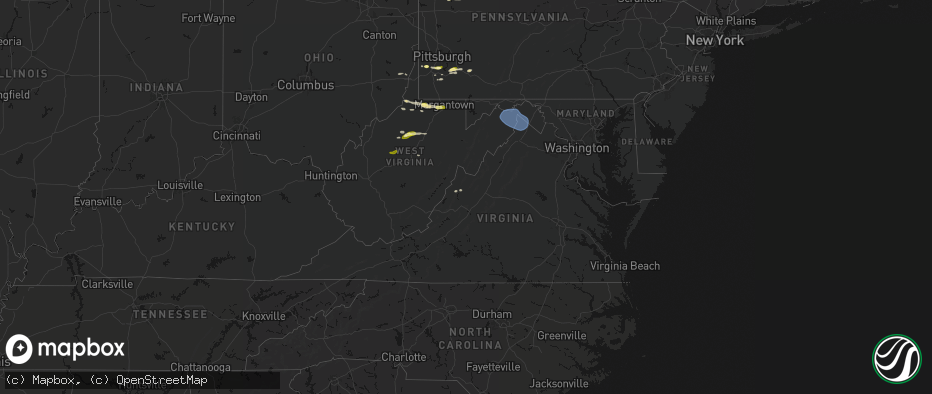
All States Impacted by Hail Map on May 13, 2026
Cities Impacted by Hail Map on May 13, 2026
Please be aware that the storm maps provided by HailTrace include estimates of the number of structures impacted by storms on the specified date. These estimates are derived from data provided by Microsoft, including building footprint data generated using computer vision algorithms applied to satellite imagery. While HailTrace makes every effort to ensure the accuracy of this information, it is not guaranteed and should be used as a general reference only. The actual number of impacted structures may differ from the estimates provided on the storm maps.