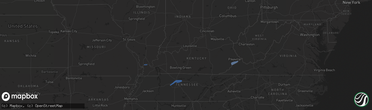
Hail Map in Kentucky on December 18, 2025
The weather event in Kentucky on December 18, 2025 includes Wind and Hail maps. 7 states and 47 cities were impacted and suffered possible damage. The total estimated number of properties impacted is 0.
Wind
Hail
0
Estimated number of impacted properties by a 1.00" hail or larger0
Estimated number of impacted properties by a 1.75" hail or larger0
Estimated number of impacted properties by a 2.50" hail or largerStorm reports in Kentucky
Kentucky
| Date | Description |
|---|---|
| 12/18/20255:57 PM CST | Corrects previous non-tstm wnd dmg report from 4 ese trenton. Poles down between ky 181 and ky 848. |
| 12/18/20255:30 PM CST | Numerous power poles broken on glass lane near ky hwy 164. Also a few structures had roof damage. |
| 12/17/202511:26 PM CST | Social media post with security camera footage shows the metal roof of a porch blown off and then across a yard. Footage time stamp shows time of damage as 12:26 am... |
| 12/17/202511:20 PM CST | Mesonet station dort pikeville 13 s. |
| 12/17/202510:57 PM CST | *** 1 inj *** large tree limb fell through roof of trailer house. Female lying in bed was struck causing a deep laceration on leg. Injured female was transported by amb |
| 12/17/202510:55 PM CST | Letcher county em shared pictures of downed trees and power lines along ky-7 in between adams branch rd and county rd 1339. |
| 12/17/20259:49 PM CST | Little poplar creek volunteer fire department posted that they responded to downed trees blocking the roadway near the intersection of ky-11 south and ky-1530. Time est |
| 12/17/20257:30 PM CST | Mesonet station lrto lebanon 8 nw. |
| 12/17/20256:40 PM CST | Report of a mini trailer tu |
| 12/17/20256:40 PM CST | Report of a mini trailer tumbled from a gas station onto red rock rd. |
All States Impacted by Hail Map on December 18, 2025
Cities Impacted by Hail Map on December 18, 2025
- Ranger, TX
- La Center, KY
- Barlow, KY
- Kevil, KY
- Monticello, FL
- Panacea, FL
- Crawfordville, FL
- Damascus, GA
- Blakely, GA
- Arlington, GA
- Lamont, FL
- Tallahassee, FL
- Saint Marks, FL
- Sopchoppy, FL
- Perry, FL
- Hamilton, AL
- Hackleburg, AL
- Bon Aqua, TN
- Fairview, TN
- Franklin, TN
- Nashville, TN
- Kingston Springs, TN
- Pegram, TN
- Whites Creek, TN
- Mount Juliet, TN
- Madison, TN
- Lebanon, TN
- Hermitage, TN
- Old Hickory, TN
- Hendersonville, TN
- Virgie, KY
- Deane, KY
- Millstone, KY
- McRoberts, KY
- Mayking, KY
- Jackhorn, KY
- Jenkins, KY
- Neon, KY
- Whitesburg, KY
- Shelby Gap, KY
- Hellier, KY
- Elkhorn City, KY
- Ashcamp, KY
- Pikeville, KY
- Mouthcard, KY
- Lick Creek, KY
- Belcher, KY


