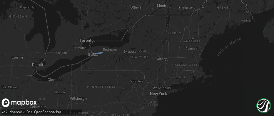
Hail Map in New York on May 9, 2026
The weather event in New York on May 9, 2026 includes Wind, Hail, and Tornado maps. 12 states and 235 cities were impacted and suffered possible damage. The total estimated number of properties impacted is 0.
Wind
Hail
Tornado
0
Estimated number of impacted properties by a 1.00" hail or larger0
Estimated number of impacted properties by a 1.75" hail or larger0
Estimated number of impacted properties by a 2.50" hail or largerStorm reports in New York
New York
| Date | Description |
|---|---|
| 05/09/20266:55 PM CDT | Corrects previous tstm wnd dmg report from byron. Trees and wires downed. |
| 05/09/20266:35 PM CDT | Several reports of trees and wires down in batavia. |
| 05/09/20266:29 PM CDT | Tree downed. |
| 05/09/20266:25 PM CDT | Tree downed on fisher rd. |
| 05/09/20265:59 PM CDT | A local report indicates 58 MPH wind near Buffalo Airport |
| 05/09/20265:50 PM CDT | Delayed report. Trees downed. |
| 05/08/20267:25 PM CDT | Tree downed. |
| 05/08/20267:05 PM CDT | Trees and wires downed. |
All States Impacted by Hail Map on May 9, 2026
Cities Impacted by Hail Map on May 9, 2026
- Roma, TX
- Carriere, MS
- Picayune, MS
- Rio Grande City, TX
- Kiln, MS
- Perkinston, MS
- Mcallen, TX
- Pharr, TX
- Alamo, TX
- Donna, TX
- San Juan, TX
- San Benito, TX
- Los Fresnos, TX
- Port Isabel, TX
- South Padre Island, TX
- Clarkston, MI
- Austin, TX
- Pflugerville, TX
- Manor, TX
- Bunnell, FL
- Rawlins, WY
- Burkeville, TX
- Wiergate, TX
- Hanna, WY
- Newton, TX
- Edgewater, FL
- Oak Hill, FL
- New Smyrna Beach, FL
- Fayetteville, TX
- Sweetwater, OK
- Hemphill, TX
- Sayre, OK
- Cheyenne, OK
- Elk City, OK
- Miami, TX
- Canadian, TX
- Mobeetie, TX
- Colmesneil, TX
- Canute, OK
- Wheeler, TX
- Briscoe, TX
- Pine Bluffs, WY
- Bushnell, NE
- Saint Francis, KS
- Wray, CO
- Bosler, WY
- Foss, OK
- Kimball, NE
- New Raymer, CO
- Cordell, OK
- Dill City, OK
- Lewisville, AR
- Woodville, TX
- East Aurora, NY
- Stoneham, CO
- Bessie, OK
- Corn, OK
- Sour Lake, TX
- Katy, TX
- Richmond, TX
- Goodland, KS
- Cheyenne, WY
- Edson, KS
- Grover, CO
- Carpenter, WY
- Balko, OK
- Houston, TX
- Warren, TX
- Hillister, TX
- Hereford, CO
- Briggsdale, CO
- Liberty, TX
- Laverne, OK
- Sterling, CO
- Bradley, AR
- Sentinel, OK
- Follett, TX
- Shattuck, OK
- Colby, KS
- Merino, CO
- Atwood, CO
- Buffalo, OK
- Fargo, OK
- Erick, OK
- Freedom, OK
- Rocky, OK
- May, OK
- Gotebo, OK
- Otis, CO
- Akron, CO
- Hobart, OK
- Woodward, OK
- Gage, OK
- Fort Supply, OK
- Alva, OK
- Mountain View, OK
- Carnegie, OK
- Arnett, OK
- Carter, OK
- Sharon, OK
- Wallisville, TX
- Dayton, TX
- Fort Cobb, OK
- Yuma, CO
- Vici, OK
- Gracemont, OK
- Anadarko, OK
- Apache, OK
- Waynoka, OK
- Aline, OK
- Dacoma, OK
- Carmen, OK
- Cope, CO
- Joes, CO
- Eckley, CO
- Fletcher, OK
- Buffalo, NY
- Clarence, NY
- Bowmansville, NY
- Lancaster, NY
- Depew, NY
- Alden, NY
- Akron, NY
- Corfu, NY
- Batavia, NY
- East Pembroke, NY
- Alexander, NY
- Elgin, OK
- Delco, NC
- Riegelwood, NC
- Cement, OK
- Kirk, CO
- Vona, CO
- Vernon, CO
- Stratton, CO
- Idalia, CO
- Rosenberg, TX
- Ninnekah, OK
- Deer Trail, CO
- Lawton, OK
- Burlington, CO
- Bethune, CO
- Kiowa, CO
- Marlow, OK
- Leedey, OK
- Duncan, OK
- Cheyenne Wells, CO
- Cyril, OK
- Geronimo, OK
- Custer City, OK
- Butler, OK
- Taloga, OK
- Comanche, OK
- Walters, OK
- Waurika, OK
- Kanorado, KS
- Weskan, KS
- Arapahoe, CO
- Ringling, OK
- Loco, OK
- Hammon, OK
- Chickasha, OK
- Wilson, OK
- Rush Springs, OK
- Bokoshe, OK
- Keota, OK
- Whitesboro, TX
- Sadler, TX
- Hendrix, OK
- Colbert, OK
- Lookeba, OK
- Denison, TX
- Sherman, TX
- Pottsboro, TX
- Minco, OK
- Binger, OK
- Spiro, OK
- Pocasset, OK
- Bells, TX
- Savoy, TX
- Muldrow, OK
- Gans, OK
- Telephone, TX
- Amber, OK
- Hinton, OK
- Ravenna, TX
- Dodd City, TX
- Windom, TX
- Honey Grove, TX
- Calumet, OK
- Bonham, TX
- Paris, TX
- Union City, OK
- El Reno, OK
- Blossom, TX
- Petty, TX
- Brookston, TX
- Sallisaw, OK
- Roxton, TX
- Pattonville, TX
- Howe, TX
- Deport, TX
- Detroit, TX
- Cooper, TX
- Pecan Gap, TX
- Gainesville, TX
- Lake Creek, TX
- Clarksville, TX
- Sulphur Bluff, TX
- Talco, TX
- Valley View, TX
- Avery, TX
- Collinsville, TX
- Tioga, TX
- Annona, TX
- Pilot Point, TX
- De Kalb, TX
- Tuttle, OK
- Blanchard, OK
- Aubrey, TX
- Celina, TX
- Little Elm, TX
- Purcell, OK
- Washington, OK
- Cartwright, OK
- Gruver, TX
- Yukon, OK
- Guymon, OK
- Booker, TX
- Hardesty, OK
- Kingston, OK
- Tom Bean, TX
- Whitewright, TX
- Spearman, TX
- Van Alstyne, TX


