Hail Map in Montana on July 15, 2013
The weather event in Montana on July 15, 2013 includes Hail map. 9 states and 55 cities were impacted and suffered possible damage. The total estimated number of properties impacted is 0.
Hail
0
Estimated number of impacted properties by a 1.00" hail or larger238
Estimated number of impacted properties by a 1.75" hail or larger0
Estimated number of impacted properties by a 2.50" hail or largerStorm reports in Montana
Montana
| Date | Description |
|---|---|
| 07/15/20136:58 PM CDT | A local report indicates 60 MPH wind near MEDICINE LAKE |
| 07/15/20136:09 PM CDT | Video of tornado sent to nws... Tornado on the ground at 509 pm mdt. |
| 07/15/20135:55 PM CDT | A local report indicates 1.00 inch wind near 24 NNW BROCKTON |
| 07/15/20135:41 PM CDT | Tornado is visible 22 miles north of poplar. |
| 07/15/20135:35 PM CDT | A local report indicates 60 MPH wind near 10 NE MOORHEAD |
| 07/15/20135:10 PM CDT | A local report indicates 1.00 inch wind near 1 S PORT OF SCOBEY |
| 07/15/20135:00 PM CDT | A local report indicates 1.75 inch wind near 6 NW SCOBEY |
| 07/15/20135:00 PM CDT | A local report indicates 1.00 inch wind near 4 NW SCOBEY |
| 07/15/20135:00 PM CDT | Public reports a tornado on the ground on state route 13 near mile marker 23 at 4 pm. |
| 07/15/20134:55 PM CDT | Crop damage from hail |
| 07/15/20134:45 PM CDT | Law enforcement is reporting multiple calls of a torando on the ground east of volt near state highway 13. |
| 07/14/20139:15 PM CDT | A local report indicates 1.00 inch wind near 5 ESE BAINVILLE |
| 07/14/20138:30 PM CDT | A local report indicates 1.00 inch wind near 8 NE CULBERTSON |
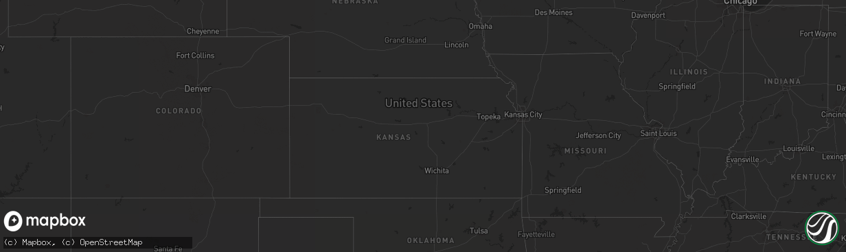
All States Impacted by Hail Map on July 15, 2013
Cities Impacted by Hail Map on July 15, 2013
- Scobey, MT
- Zahl, ND
- Alamo, ND
- Dragoon, AZ
- Morris, GA
- Columbia, AL
- Culbertson, MT
- Williston, ND
- Dagmar, MT
- Grenora, ND
- Epping, ND
- Ray, ND
- Bainville, MT
- Froid, MT
- Peerless, MT
- Wolf Point, MT
- Poplar, MT
- Brockton, MT
- Phoenix, AZ
- Palermo, ND
- Stanley, ND
- Berthold, ND
- Whitetail, MT
- Kingman, AZ
- Reserve, MT
- Medicine Lake, MT
- Tioga, ND
- Brooksville, FL
- Fortuna, ND
- Metter, GA
- Register, GA
- Antelope, MT
- Wildrose, ND
- Cuthbert, GA
- New Town, ND
- Watford City, ND
- Florien, LA
- Many, LA
- Parrott, GA
- Dawson, GA
- Shellman, GA
- Tucson, AZ
- New Braunfels, TX
- Marion, TX
- Inglis, FL
- Keene, ND
- Rio Rico, AZ
- Lumpkin, GA
- Powers Lake, ND
- Cochise, AZ
- Fairview, MT
- Flaxville, MT
- Statesboro, GA
- Gillette, WY
- Homestead, MT


