Hail Map in Mississippi on June 3, 2011
The weather event in Mississippi on June 3, 2011 includes Hail map. 13 states and 242 cities were impacted and suffered possible damage. The total estimated number of properties impacted is 0.
Hail
0
Estimated number of impacted properties by a 1.00" hail or larger0
Estimated number of impacted properties by a 1.75" hail or larger0
Estimated number of impacted properties by a 2.50" hail or largerStorm reports in Mississippi
Mississippi
| Date | Description |
|---|---|
| 06/03/20116:45 PM CDT | A few trees were down along with a power line. |
| 06/03/20116:11 PM CDT | Trees and power lines were downed around hazlehurst. A power pole was snapped and several pieces of tin were thrown. Damage photos indicate 70-80 mph winds. |
| 06/02/20119:00 PM CDT | A few trees down...one across a rd. |
| 06/02/20118:15 PM CDT | Public report of dime to quarter size hail at teh intersection of hwy 63 and hwy 26 in lucedale. |
| 06/02/20117:57 PM CDT | Multiple trees downed in the city...one fell on a business |
| 06/02/20117:10 PM CDT | Several trees down on power lines. |
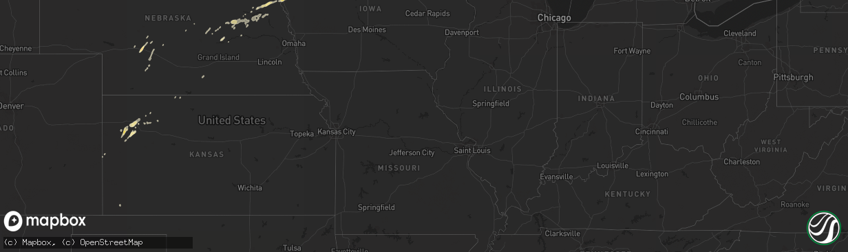
All States Impacted by Hail Map on June 3, 2011
Cities Impacted by Hail Map on June 3, 2011
- Shell Rock, IA
- Waverly, IA
- Lorman, MS
- Grand Marais, MI
- Newberry, MI
- Winnebago, NE
- Anthon, IA
- Moville, IA
- Climbing Hill, IA
- Hornick, IA
- Colquitt, GA
- Girard, GA
- Brooklet, GA
- Lanse, MI
- Dougherty, IA
- Aredale, IA
- Sheffield, IA
- Correctionville, IA
- Glidden, WI
- Clarksville, IA
- Plainfield, IA
- Hovland, MN
- Grand Marais, MN
- Bay Minette, AL
- Herbster, WI
- Bayfield, WI
- Cornucopia, WI
- Indian River, MI
- Afton, MI
- Toccoa, GA
- Palmer, NE
- Bristow, IA
- Clayton, LA
- Ferriday, LA
- Winona, KS
- Leigh, NE
- Clarkson, NE
- Stanton, NE
- Loxley, AL
- Stapleton, AL
- Lucedale, MS
- Spalding, NE
- Keysville, GA
- Waynesboro, GA
- Louisville, GA
- Clarion, IA
- Goldfield, IA
- Minneapolis, MN
- Hampton, IA
- Primrose, NE
- Onaway, MI
- Galva, IA
- Mohawk, MI
- Copper Harbor, MI
- Defuniak Springs, FL
- Lula, GA
- Alto, GA
- North Platte, NE
- Clare, IA
- Eagle Grove, IA
- Badger, IA
- Fort Dodge, IA
- Vincent, IA
- Register, GA
- Statesboro, GA
- Galt, IA
- Wayne, NE
- Pender, NE
- Wisner, NE
- Wakefield, NE
- Pocahontas, IA
- Gilmore City, IA
- Palmer, IA
- Hoxie, KS
- Clovis, NM
- Belgrade, NE
- Humboldt, IA
- Thor, IA
- Lake Linden, MI
- Copper City, MI
- Allouez, MI
- Calumet, MI
- Ahmeek, MI
- Salix, IA
- Sloan, IA
- Oto, IA
- Glennville, GA
- Pilger, NE
- Ontonagon, MI
- Dumont, IA
- Clarkesville, GA
- Claxton, GA
- Reidsville, GA
- Jonesville, LA
- Sicily Island, LA
- Storm Lake, IA
- Schaller, IA
- Early, IA
- Tribune, KS
- Sheridan Lake, CO
- Cornelia, GA
- Maysville, GA
- Mount Airy, GA
- Homer, GA
- Baldwin, GA
- Lyons, GA
- Whigham, GA
- Natchez, MS
- Alanson, MI
- Cheboygan, MI
- Chassell, MI
- Toivola, MI
- Portal, GA
- Skanee, MI
- Emerson, NE
- Thurston, NE
- Colby, KS
- Sylvania, GA
- Wadley, GA
- Gilbert, LA
- Levant, KS
- Ojibwa, WI
- Exeland, WI
- Winter, WI
- Radisson, WI
- Madison, NE
- Cushing, IA
- Albion, NE
- Manson, IA
- Pomeroy, IA
- Jolley, IA
- Grand Portage, MN
- Silver Bay, MN
- Two Harbors, MN
- Monument, KS
- Oakley, KS
- Melrose, NM
- Vidalia, LA
- Pembroke, GA
- Almena, KS
- Greenwood, FL
- Marianna, FL
- Wilmer, AL
- Nemaha, IA
- Eckerman, MI
- Paradise, MI
- Robertsdale, AL
- Daphne, AL
- Sardis, GA
- Brutus, MI
- Newman Grove, NE
- Humphrey, NE
- Lindsay, NE
- Demorest, GA
- Midville, GA
- Wolbach, NE
- Greeley, NE
- Creston, NE
- Floyd, NM
- Columbus, NE
- Vidalia, GA
- Eight Mile, AL
- Semmes, AL
- Citronelle, AL
- Beemer, NE
- Holstein, IA
- Brady, NE
- Howells, NE
- Long Island, KS
- Ponce De Leon, FL
- Westville, FL
- Callaway, NE
- Molino, FL
- Bronson, IA
- Roswell, NM
- Collins, GA
- Newell, IA
- Alexander, IA
- Belmond, IA
- La Pointe, WI
- Pelkie, MI
- Atlantic Mine, MI
- Port Wing, WI
- Houghton, MI
- Saint Edward, NE
- Camilla, GA
- Michigamme, MI
- Pengilly, MN
- Ida Grove, IA
- Saint Ignace, MI
- Selden, KS
- Rexford, KS
- Gem, KS
- Vinegar Bend, AL
- Damascus, GA
- Burwell, NE
- Curtis, NE
- Milton, FL
- Cairo, GA
- Pelham, GA
- Bainbridge, GA
- Stapleton, NE
- Fonda, IA
- Latimer, IA
- Central City, NE
- Maxwell, NE
- Fullerton, NE
- Cuthbert, GA
- Rocky Ford, GA
- Alta, IA
- Odebolt, IA
- Sac City, IA
- Varina, IA
- Battle Creek, IA
- Danbury, IA
- Albert City, IA
- North Loup, NE
- Scotia, NE
- Grady, NM
- Millersburg, MI
- Comstock, NE
- Goetzville, MI
- Minden, NE
- Woolstock, IA
- Edson, KS
- Hoskins, NE
- Winside, NE
- Portales, NM
- Elida, NM
- Port Gibson, MS
- Maywood, NE
- Bascom, FL
- Millen, GA
- Moran, MI
- Norfolk, NE
- Dows, IA
- Hershey, NE
- Grand Rapids, MN
- Broadview, NM
- Hessel, MI
- Poplarville, MS
- Hugoton, KS


